Today, scientists use a high-tech “digital toolkit” to map out the future of our coastlines. From the high-flying satellites of the Canadian Space Agency to AI-powered flood simulations, technology is helping us prepare for a wetter future.
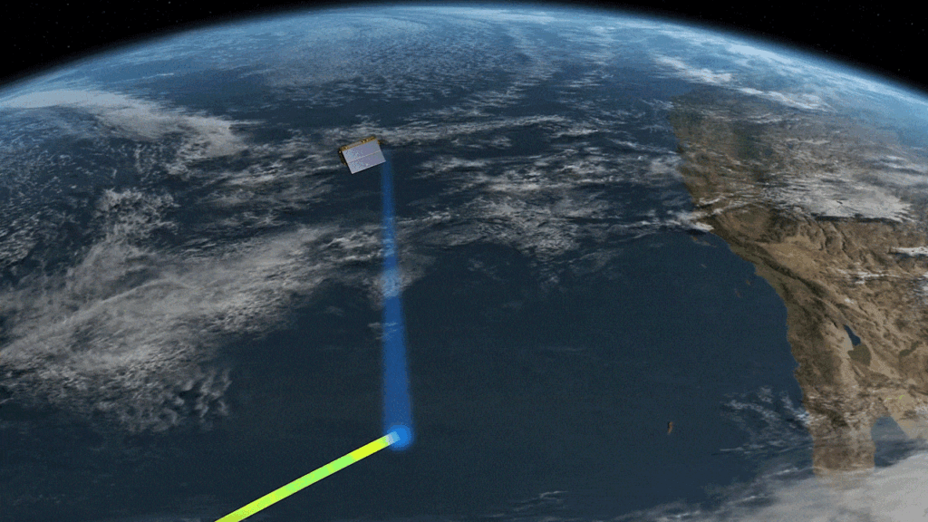
Satellite Altimetry
Satellite Altimetry is the use of satellites to measure the exact height of the ocean’s surface. These satellites fire radar pulses down to the water and measure how long it takes for the signal to bounce back.
Altimetry is especially helpful in Canada, whose coastline is the longest in the world. Scientists use data from satellites like the Sentinel-6 to track “absolute sea level rise”—how much the total volume of the ocean is increasing.
In the Canadian Arctic, satellites like RADARSAT Constellation Mission (RCM) help monitor melting sea ice and glaciers, which are major contributors to rising water levels in the North.
Artificial Intelligence (AI)
AI and Machine Learning tools are used to analyze massive amounts of data to find patterns and make hyper-local predictions. AI helps “downscale” big global models to see what will happen in a specific neighbourhood or street.
Flood Forecasting: AI is being tested to predict “King Tides” and storm surges in Vancouver.
By processing real-time weather data and historical tide records, AI can give cities advanced warning to create temporary dams or clear storm drains.